SAR Education and Training

The SERVIR SAR Handbook
Download Page
The SAR Handbook: Comprehensive Methodologies for Forest Monitoring and Biomass Estimation is a free educational resource created in a collaboration between NASA SERVIR and SilvaCarbon. Five trainings, led by six SAR subject matter experts, were held across the globe, covering topics such as SAR basics, SAR for forest change detection, forest height estimation, biomass estimation, mangrove monitoring, and sampling design. Each of these training topics are covered in a SAR Handbook chapter, which includes the theoretical basics and applied exercises.

Alaska Satellite Facility
Data Recipe Tutorials
This page is an initiative of the Alaska Satellite Facility to provide SAR data analysis support for researchers with little SAR expertise. It hosts a number of step-by-step data recipes describing how to use SAR data for a variety of applications

SAR Class on Microwave Remote Sensing
Class Site
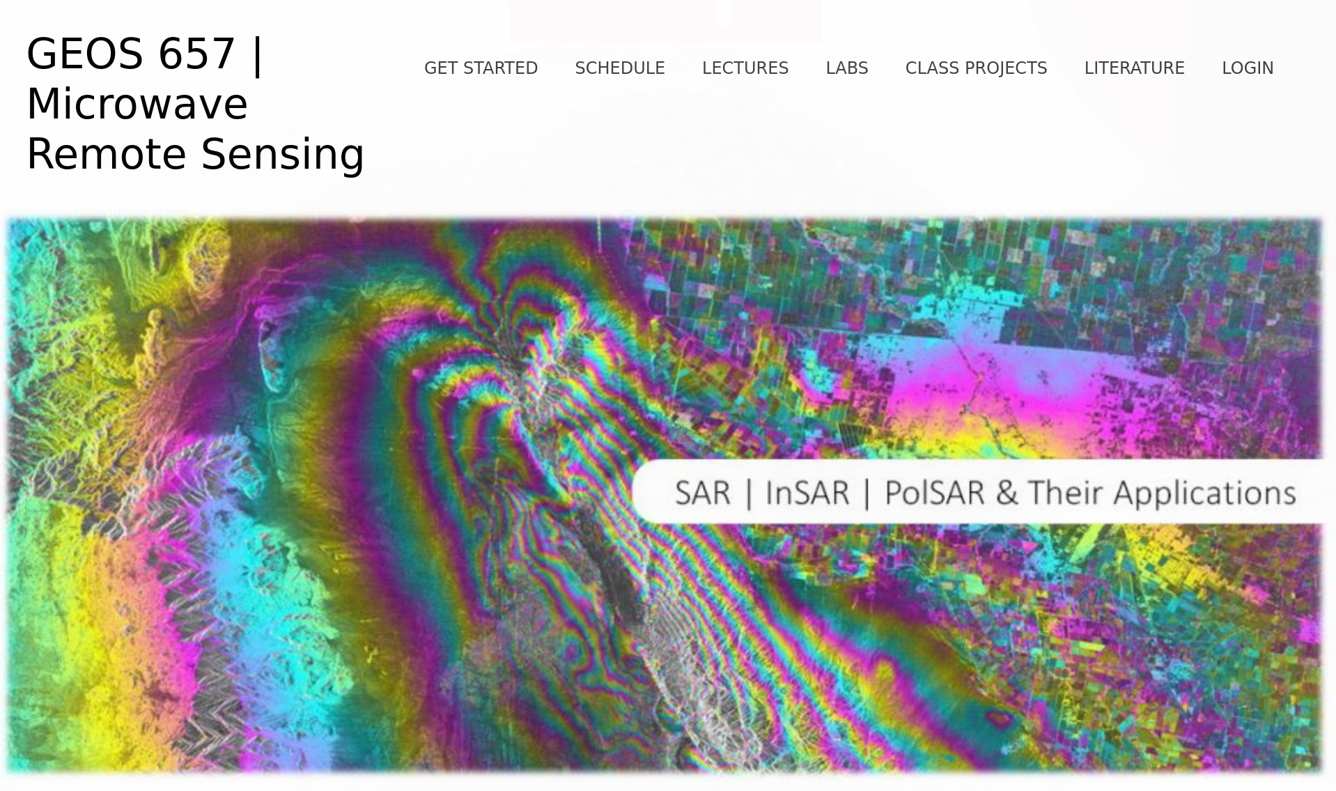
This page hosts free educational resources related to a graduate-level course on Microwave Remote Sensing at the University of Alaska Fairbanks. The course provides extensive information on the principles and applications of radar in lectures and labs. All materials are available for free including recordings on the 2019 installment of the class.

NASA Applied Remote Sensing Training
ARSET Program
The ARSET Program offers satellite remote sensing training that builds the skills to integrate NASA Earth Science data into an agency’s decision-making activities. Many trainings are available in English and Spanish language. The availability of SAR-related trainings and webinars is constantly increasing.

EO College
Initiative Site
EO College is an Earth observation initiative developed by the Friedrich-Schiller University in Jena, Germany. It makes regular Massive Open Online Courses (MOOCs) as well as other free educational resources in Radar Remote Sensing available through its website. While past trainings focused on SAR, courses in other remote sensing modalities are expected in the near future.

RUS
Training
The main objectives of the RUS (Research and User Support for Sentinel Core products) Service are to promote the uptake of Copernicus data (such as data from the ESA Sentinel missions) and to support the scaling up of R&D activities with Copernicus data. RUS holds in person trainings but also provides access to online resources on SAR and other remote sensing technologies.

EarthData
What is SAR
NASA’s Earth Science Data Systems (ESDS) program oversees the life cycle of NASA’s Earth science data, with free and open SAR data accessible from their EarthData service.

UNAVCO
Training
UNAVCO is a non-profit university-governed consortium facilitating geoscience research and education using geodesy. As part of its education and outreach efforts, UNAVCO has teamed up with the U.S. SAR community in organizing and offering yearly multi-day SAR and InSAR training workshops.
Where to Get (Free) SAR Data
Copernicus Open Access Hub
This is the place to go to discover and download data from ESA’s Sentinel missions. You can search either via geographic user interface or via API. Data access is free after a simple registration was completed.
The Alaska Satellite Facility’s Data Search Interface
ASF’s Search interface provides access to a more than 10PB-sized archive of SAR data. The available imagery stretches over more than 40 years (1978 – today) and includes (in historical order) the sensors SEASAT (data availability for years: ’78), AIRSAR (’90-’04), ERS-1 (’91-’97), JERS-1 (’92-’98), ERS-2 (’95-’11), Radarsat-1 (’95-’08), ALOS PALSAR (’06-’11), UAVSAR (’08-now), SMAP (’15-now), Sentinel-1A (’14-now), and Sentinel-1B (’16-now). Most of the data sets are freely available and can be searched via graphical user interface or API.
TerraSAR-X and TanDEM-X Science Data Servers:
TerraSAR-X (07-now) and TanDEM-X (’10-now) are high-resolution X-band SAR sensors operated by the German Aerospace Center in a public-private-partnership with Airbus. Access to archived data is available through the EOWEB system. Access is free but requires a short proposal.
The WInSAR Archives
The Western North America Interferometric SAR Consortium (WInSAR) is holding archives from a range of SAR sensors mostly over geophysical hazard zones. Data can be accessed either through the UNAVCO SAR Archive or through the SSARA access point. Information on how to become a WInSAR member can be found here.
SARVIEWS
SARVIEWS is a fully automated SAR data processing service generating geocoded SAR and InSAR data products from ESA’s Sentinel-1 sensors for relevant hazard events around the globe. To facilitate full automation, the SARVIEWS processing flows are triggered automatically by existing hazard alert systems such as the USGS Earthquake Notification Service.
The NASA/ISRO SAR (NISAR) Mission
Using advanced radar imaging that will provide an unprecedented, detailed view of Earth, the NASA-ISRO Synthetic Aperture Radar, or NISAR, satellite is designed to observe and take measurements of some of the planet’s most complex processes, including ecosystem disturbances, ice-sheet collapse, and natural hazards such as earthquakes, tsunamis, volcanoes and landslides.
Data collected from NISAR will reveal information about the evolution and state of Earth’s crust, help scientists better understand our planet’s processes and changing climate, and aid future resource and hazard management. The mission is a partnership between NASA and the Indian Space Research Organization.
To Learn More about NISAR, please visit https://nisar.jpl.nasa.gov/