Training Information
- Type: Face to Face
- Training Dates: 21-24 Jan 2020
- Location: Quito, Ecuador
- Host: Universidad Central de Ecuador, Quito, Ecuador
- Audience: 40 attendees from Government Organizations, NGOs, and Universities from Ecuador
- Prerequisites:
- ARSET Level-0 Training “Fundamentals of Remote Sensing” or equivalent
- General proficiency in GIS
- ARSET Level-1 Training “Introduction to Synthetic Aperture Radar” or equivalent
- Basic knowledge in Python programming
Training Description
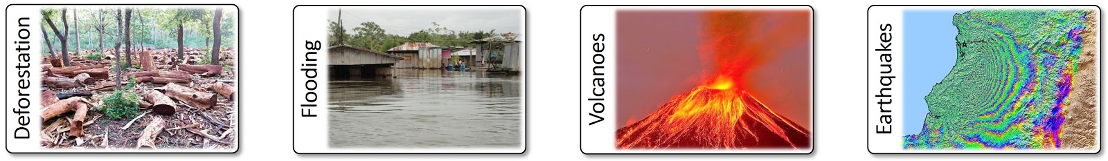
This training was focused on strengthening the remote sensing capabilities on the use of SAR data for disaster monitoring, particularly geologic hazards. The focus of the training was on application-oriented topics such as accessing SAR data, SAR image visualization, SAR image interpretation, interferometric SAR (InSAR) concepts, change detection, and image and InSAR time series analysis. These techniques were applied to a range of disaster applications such as flood mapping, volcano monitoring, earthquake hazards, and landslides.
The goal of the training was to provide attendees with an intuitive understanding of the SAR image and phase information and with a range of analysis techniques to apply SAR data to disaster mapping and management. Processing procedures were explained using relevant data sets from active radar systems.
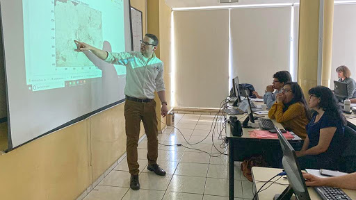
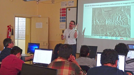
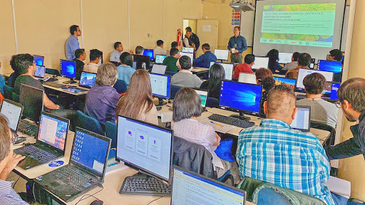
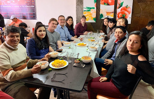
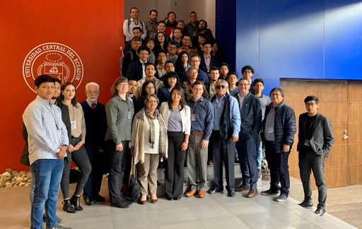
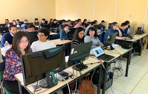
Gallery
Training Agenda
Day 1: The first day focused on an initial recap of some basics of SAR with an emphasis on the SAR signatures of various natural environments. First lab sections provided hands-on analysis of SAR data over various environments and taught the use of Python and Jupyter Notebooks for spatial analysis and SAR image processing. We will also explore the basics of working with SAR amplitude data in a GIS environment
- Morning: Introduction to the Training, concepts of SAR, and summary of “how SAR sees the world”
- Afternoon: Hands-on Exercises focused on experiencing and interpreting SAR data
Day 2: On the second day the attendees learned how to generate and analyze SAR image time-series stacks. The instructors introduced the use of SAR data for the monitoring of natural hazards and showed end-to-end examples of how to apply SAR data during disaster events such as flooding, wildfires and deforestation.
- Morning: SAR time series information and SAR image time series for disaster monitoring
- Afternoon: Change detection for disaster monitoring
Day 3: The third day introduced the concepts and applications of Interferometric SAR (InSAR) processing. InSAR uses the phase signal captured in complex-valued SAR data to track subtle surface movements such as those related to seismic and volcanic activity. After an introduction of the techniques, attendees worked on their use in several hands-on computer labs.
- Morning: Introduction to InSAR and applying InSAR for geological hazards
- Afternoon: InSAR time series analysis for the monitoring of volcanic unrest
Day 4: The final day started with a discussion on SAR-based ship detection and a short introduction of the NISAR mission, NASA’s upcoming L-/S-band SAR mission, that will provide global, regularly sampled, and free-and-open SAR data. These topics were followed by a wrap-up of the training and an assessment of future training needs.
Trainers

Franz Meyer
University of Alaska Fairbanks, Fairbanks, Alaska, U.S.A.

Eric Anderson
SERVIR Science Coordination Office, Huntsville, Alabama, U.S.A.
Heidi Kristenson
Alaska Satellite Facility, Fairbanks, Alaska, U.S.A.

Tannia Mayorga Torres
Universidad Central de Ecuador, Quito, Ecuador