Training Information
- Type: Webinar
- Training Dates:
- Track #1: August 20-21st
- Track #2: August 20-21st & 24-27th
- Audience: 40 attendees from Government Organizations, NGOs, and Universities from Colombia and neighboring countries
- Prerequisites:
- Track #1: No prerequisites
- Track #2:
- Some exposure to computer programming, preferably Python programming
- ARSET Training “Fundamentals of Imaging Radar”
- Some experience with working on linux platforms and linux command line environments
Training Description
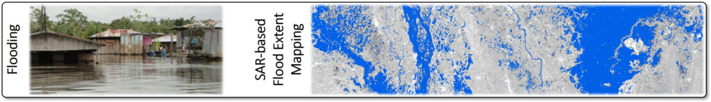
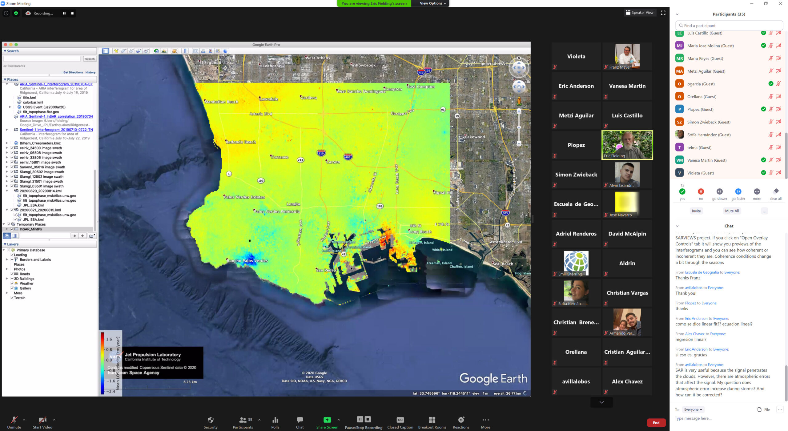
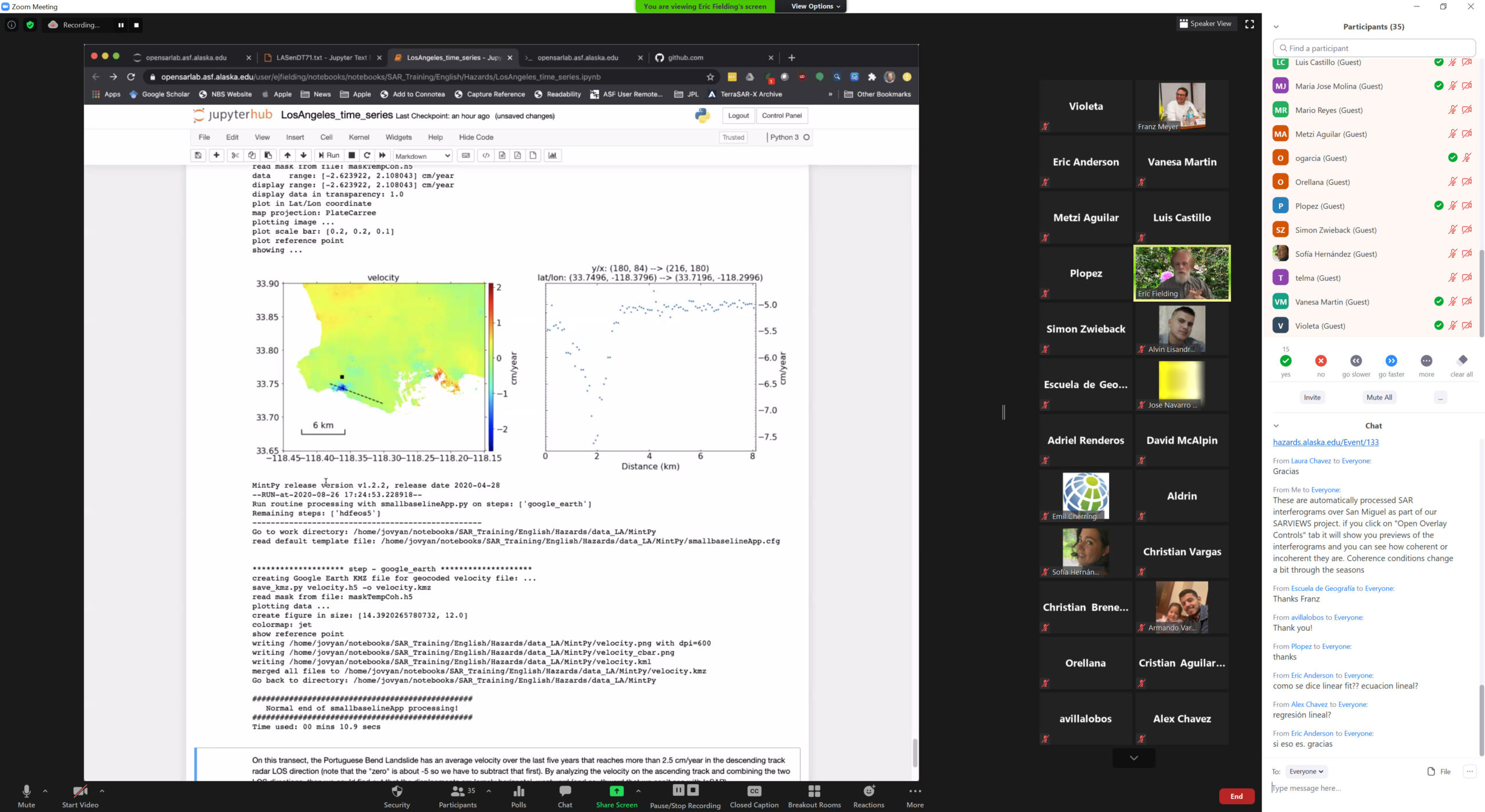
This training was held in collaboration with the Ministry of Environment and Natural Resources (MARN), El Salvador, and the System of Latin American Integration (SICA) organization to strengthen capabilities in using SAR in monitoring hazards related to flooding and landslides. The focus of the training was put on topics such as accessing SAR data, interpretation of SAR image time series, change detection, and InSAR time series analysis. In hands-on data processing labs, these techniques were applied to the monitoring of a recent flooding event in South Asia as well as an active landslide in California.
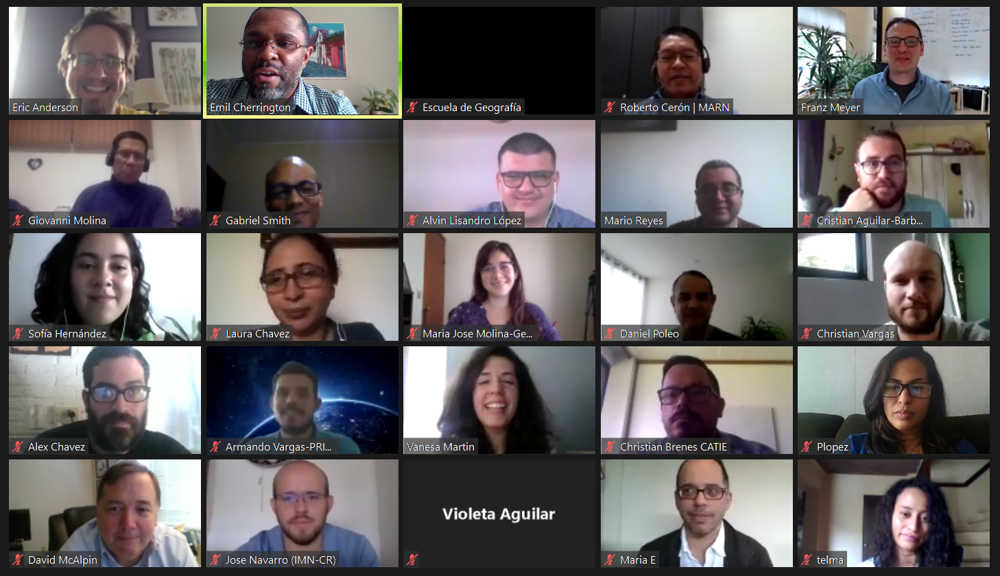
Gallery

Training Agenda
Track #1 [general audience]
Day 1: Inauguration and Introduction (Aug 17)
- Inauguration: Minister of Environment
- Introduction: Jorge Cabrera, SICA
- Objectives and Opening Statements, UAF / NASA
Day 2: Introduction to SAR / Surface Water Mapping from SAR (Aug 20)
- Introduction to SAR and InSAR concepts and theory
- Application of SAR to surface water mapping
- 30 min Q+A
Day 3: Landslide Detection & Monitoring using SAR & InSAR Data (Aug 21)
- Introduction to landslides in the context of remote sensing
- Using SAR and InSAR to detect and monitor landslides
- 30 min Q+A
Track #2 [technical audience]
Day 4: Intro to processing environment & deeper dive into flood mapping using SAR (Aug 24)
- Single-image and change-detection techniques for surface water mapping from SAR
- Familiarizing with OpenSAR and HYP3
- Exercise: Visualizing SAR time series using the OpenSARLab
- 30 min Q+A
- Day 4 Zoom Recording
- 🇺🇸 (Spanish subtitles available)
Day 5: Flood mapping using SAR (Aug 25)
- Exercise: Flood mapping using adaptive single image thresholding – case study Tropical Storm Amanda
- Flood Forecasting using the GEOGLoWs environment
- 30 min Q+A
- Day 5 Zoom Recording
- 🇪🇸 (No subtitles currently available)
Day 6: Landslides monitoring using InSAR techniques (Aug 26)
- SAR techniques for landslide monitoring
- Exercise: InSAR-based Landslide monitoring using MintPy (case study site TBD)
- 30 min Q+A
- Day 6 Zoom Recording
- 🇺🇸 (Spanish subtitles available)
Day 7: Closing Session (Aug 27)
- Answer lingering questions about landslides
- Review available educational materials (prerecorded webinars, where to find recordings of this webinar, ARSET tutorials, SAR Handbook)
- Day 7 Zoom Recording
- 🇺🇸 (Spanish subtitles available)
Trainers

Franz Meyer
University of Alaska Fairbanks, Fairbanks, Alaska, U.S.A.
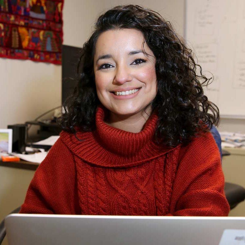
Africa Flores-Anderson
SERVIR Science Coordination Office, Huntsville, Alabama, U.S.A.

Eric Fielding
NASA Jet Propulsion Laboratory, Pasadena, CA, U.S.A.

Jim Nelson
Brigham Young University, Provo, Utah, U.S.A.

Giovanni Molina
Ministry of Environment and Natural Resources (MARN)

Betzy Hernandez
NASA AmeriGEO
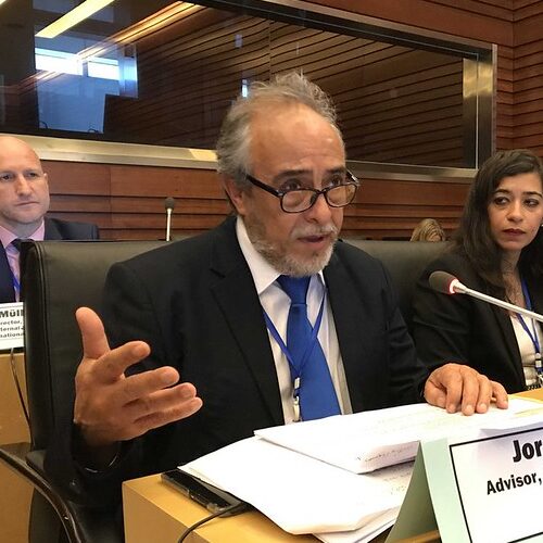
Jorge Cabrera
Central American Integration System (Sistema de la Integración Centroamericana, SICA)