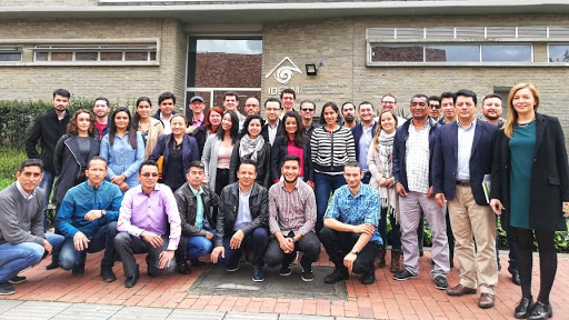
Training Information
- Type: Face to Face
- Training Dates: 13-16 Aug 2019
- Location: Bogota, Colombia; IDEAM
- Host: Institute of Hydrology, Meteorology and Environmental Studies (IDEAM), Colombia
- Audience: 40 attendees from Government Organizations, NGOs, and Universities from Colombia and neighboring countries
- Prerequisites:
- ARSET Level-0 Training “Fundamentals of Remote Sensing” or equivalent
- General proficiency in GIS
- ARSET Level-1 Training “Introduction to Synthetic Aperture Radar” or equivalent
- Basic knowledge in Python programming
Training Description
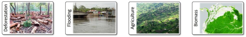
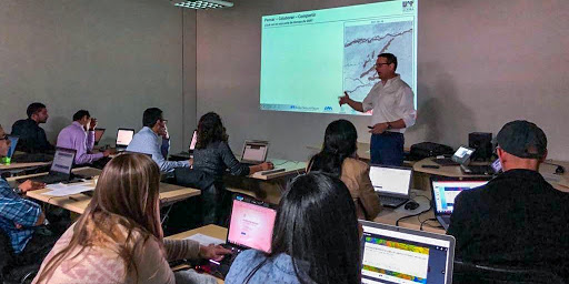
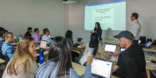
This training was held to strengthen the remote sensing capabilities to use SAR data for ecosystems monitoring. The focus of the training was put on application-oriented topics such as accessing SAR data, SAR image visualization, SAR image interpretation, change detection, and time series analysis. These techniques were applied to a range of ecosystems applications such as forest disturbance mapping, inundation mapping, crop monitoring, and biomass estimation.
The goal of the training was to provide attendees with an intuitive understanding of the SAR image content and with a range of analysis techniques to apply SAR data to the monitoring of ecosystems. Processing procedures were explained using relevant data sets from active radar systems.
Gallery
Training Agenda
Day 1: The first day provided a recap of the basics of SAR with a focus on the SAR signatures of various vegetated environments. First lab sessions provided hands-on analysis of SAR data over ecosystem environments and teach the use of Python and Jupyter Notebooks for spatial analysis and SAR image processing
- Morning: Introduction to the Training, recap of the concepts of SAR, and a summary of “how SAR sees the world”
- Afternoon: Hands-on Exercises focused on experiencing and interpreting SAR data
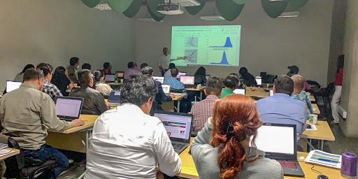
Day 2: On the second day the attendees learned how to generate and analyze time-series stacks of SAR data. The instructors introduced the use of SAR data for the monitoring of forest degradation and showed end-to-end examples of SAR-based forest degradation mapping from data ordering to pre-processing and time series analysis.
- Morning: SAR time series information and SAR for monitoring forest degradation
- Afternoon: Change detection for forest degradation mapping
Day 3: Day 3 used the tools learned on the previous days and expanded them to other ecosystem applications such as surface water mapping and agriculture monitoring. The day ended in an introduction to biomass estimation using L-band SAR data
- Morning: Applying SAR to forest degradation and hydrology mapping
- Afternoon: Biomass estimation using L-band SAR
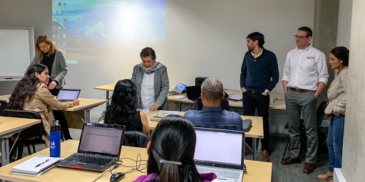
Day 4: The last day of the training focused on a wrap-up of the course and an assessment of future training needs.
Trainers

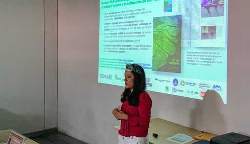
Africa Flores-Anderson
SERVIR Science Coordination Office, Huntsville, Alabama, U.S.A.

Franz Meyer
University of Alaska Fairbanks, Fairbanks, Alaska, U.S.A.