Training Information
- Type: Synchronous online
- Training Dates: 16-17 Feb 2021
- Location: Online
- Host: AmeriGEO Inter-American Academy
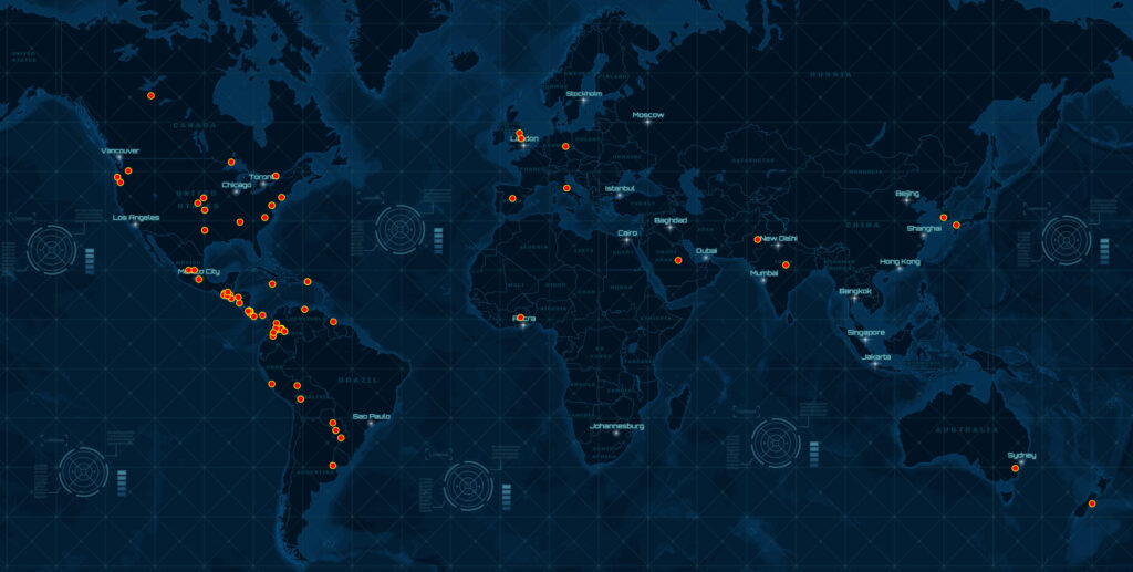
- Audience: 90 attendees from South America, Central America, and other nations
- Prerequisites:
- ARSET Level-0 Training “Fundamentals of Radar Remote Sensing”
- Basic knowledge in Python programming
Training Description
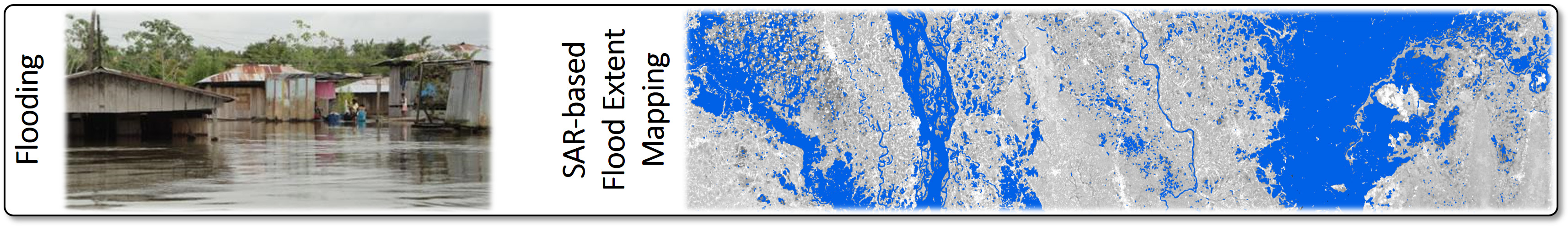
This training was focused on strengthening the remote sensing capabilities on the use of SAR data for the monitoring of weather-related disasters. Specific focus was put on the mapping of flood water extents from SAR, resulting in high-resolution flood information at 8-12 day temporal sampling. The training introduced the benefits of SAR for flood mapping and introduced a series of approaches capable of extracting surface water information from SAR images. Hands-on data exercises using Jupyter Notebooks
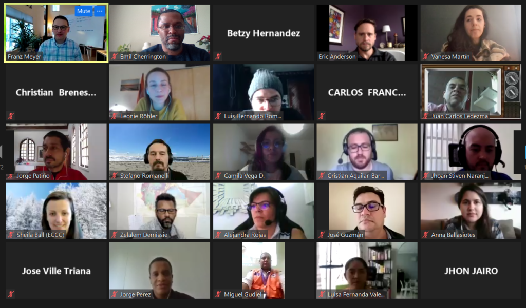
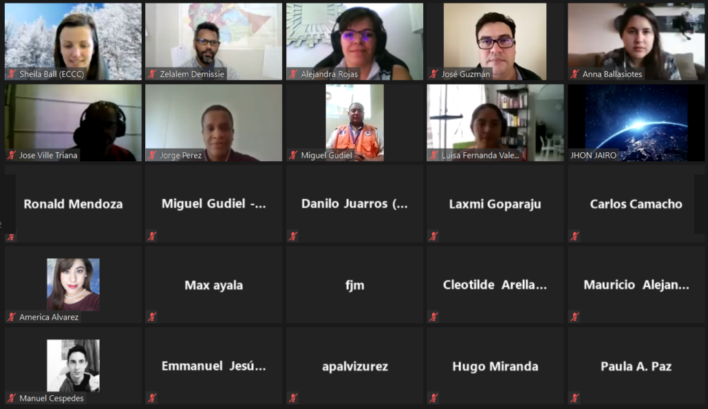
Gallery
Training Agenda
Session 1: Introduction to Flood Mapping using SAR
- Lecture 1: Introduction to SAR Remote Sensing – [60 min]
- Lecture 2: Flood Signatures in SAR Images and SAR-based Water Mapping Concepts – [30 min]
- Q&A: Question and answer session with attendees – [30 min]
Session 2: A Single Image SAR Flood Mapping Technique
- Lecture 3: Single-Image Thresholding & Change-Detection Techniques for Surface Water Mapping from SAR – [45 min]
- Lab: Flood Extent Mapping from SAR – [45 min]
- Q&A: Question and answer session and workshop wrap up – [30 min]
Trainers

Franz Meyer
University of Alaska Fairbanks, Fairbanks, Alaska, U.S.A.

Eric Anderson
SERVIR Science Coordination Office, Huntsville, Alabama, U.S.A.

Africa Flores-Anderson
SERVIR Science Coordination Office, Huntsville, Alabama, U.S.A.

Vanesa Martin
University of Alabama in Huntsville, Huntsville, Alabama, U.S.A.

Emil Cherrington
SERVIR Science Coordination Office, Huntsville, Alabama, U.S.A.

Alex Lewandowski
NASA Alaska Satellite Facility, University of Alaska Fairbanks, Fairbanks, Alaska, U.S.A.